By William Weeks
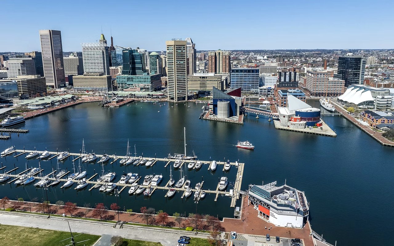
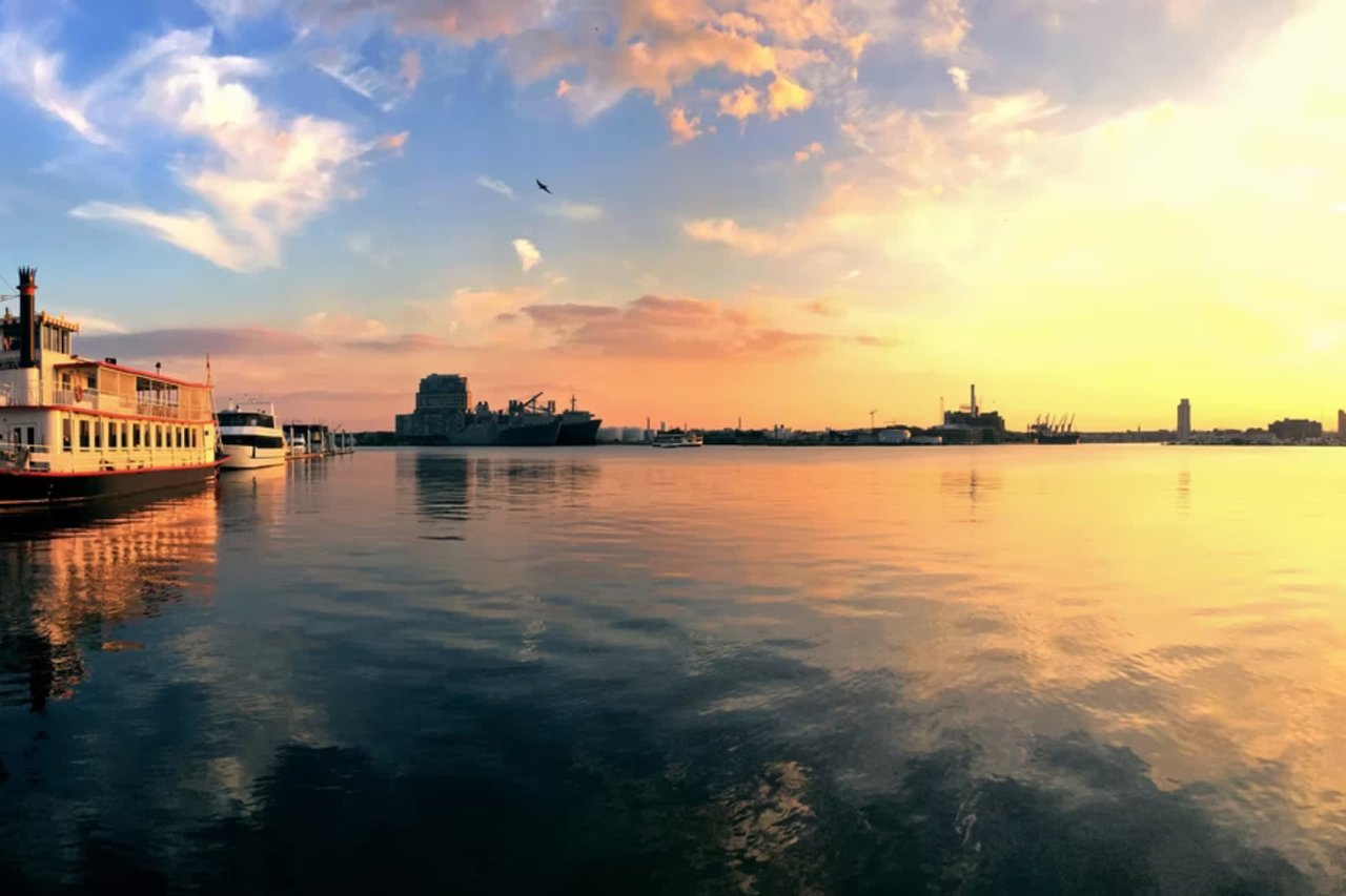
Water views are a big part of Baltimore’s appeal, and so are the rules that come with them. Flood maps, shoreline regulations, and pier permits can shape both the cost and the use of a waterfront home. I walk clients through those details before they fall for a view. The sections below cover what to review right now.
Key Takeaways
- Flood insurance: Flood insurance is required with a government-backed mortgage when a home sits in a Special Flood Hazard Area.
- Critical Area: Maryland’s Critical Area covers land within 1,000 feet of tidal influence.
- Pier permits: A Wetlands and Waterways permit is required to build, repair, or change a pier.
- Harbor access: Canton Waterfront Park offers a boat ramp, a fishing pier, and a water taxi stop.
Flood Zones, Insurance, and Disclosures
Flood insurance is required for a home with a government-backed mortgage in a Special Flood Hazard Area, and some lenders require it elsewhere. FEMA has issued new preliminary flood maps and a Flood Insurance Study for Baltimore.
Flood Questions for Every Property
- Flood zone: Confirm the property’s current flood zone on the city’s flood map.
- Lender rules: Ask the lender whether flood insurance is required.
- Disclosure form: Maryland’s disclosure form asks whether the property is in a flood zone, conservation area, wetland area, Chesapeake Bay Critical Area, or Designated Historic District.
Maryland owners complete either a disclosure statement or a disclaimer statement, and known latent defects must be disclosed either way. I review that form with every client before an offer goes in.
Critical Area Rules Near the Water
Maryland’s Critical Area is the ribbon of land within 1,000 feet of the tidal influence of the Bay. Lot coverage is generally limited to 15 percent of the parcel in Limited Development and Resource Conservation Areas, and the limit is 25 percent for certain lots under one-half acre created before the rules.
Baltimore’s Waterfront Overlay
- Middle Branch buffer: The W-2 zone requires a buffer of at least 100 feet, which the Planning Director may reduce to no less than 50 feet.
- Bulkheads and rip-rap: The W-2 zone bans new bulkheads and rip-rap.
- Promenade easement: The W-1 zone requires a promenade easement of at least 30 feet, with 12 feet built.
Intensely Developed Areas of 20 or more adjacent acres have no lot coverage or clearing limits. Check the zoning for a specific address before any renovation plan is drawn.
Pier and Shoreline Permits
A Wetlands and Waterways permit is required to build, repair, or change a pier in Maryland. Tidal wetlands licenses are issued by the Board of Public Works, and an application fee applies.
Permit Steps
- Application: Applications go through the Maryland Department of the Environment using the Joint Permit Application.
- Notification: Pier projects require notice to adjoining owners and local officials.
- Shoreline projects: The department publishes a living-shoreline checklist, last updated May 4, 2026.
Older piers and bulkheads may need repair or replacement, so their condition deserves a close look during inspections. I can help clients find marine contractors who can estimate the work.
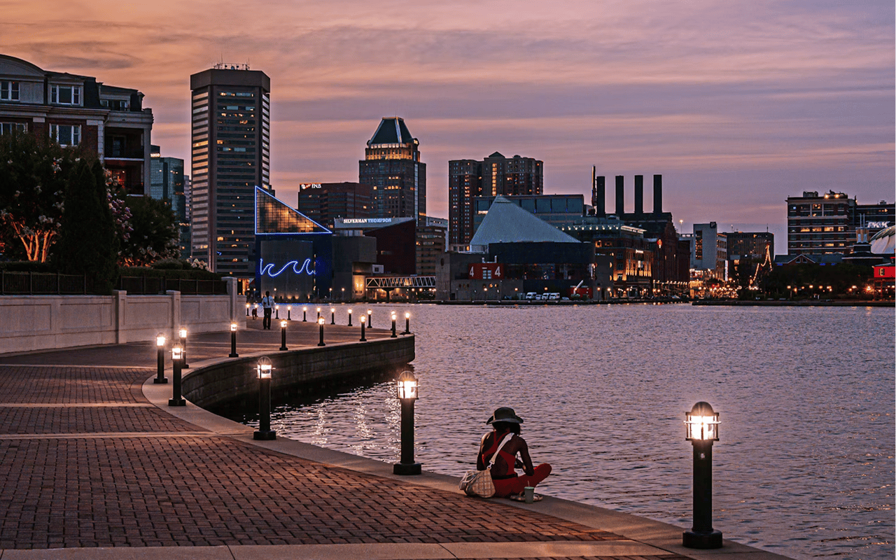
Canton Waterfront Park and Harbor Access
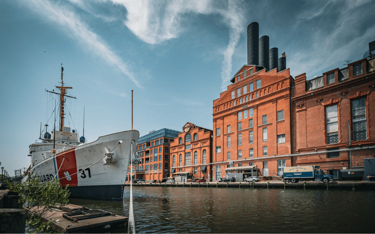
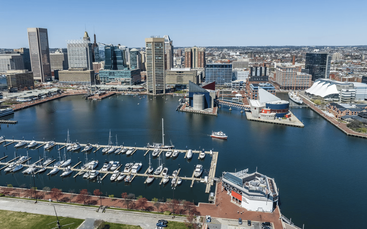
Canton Waterfront Park covers 8 acres at 3001 Boston St. It has a boat ramp, a fishing pier that needs no license, the Waterfront Promenade, and Water Taxi stop number 16.
Harbor Conditions
- Harbor grade: The Healthy Harbor report card gave the harbor an overall C in 2024, the same grade as 2022 and 2023.
- Oxygen: Dissolved oxygen scored 87 out of 100, the first A.
- Recreation: The Fells Point Harbor Splash site met the recreation standard 83 percent of the time in 2024.
Dissolved oxygen is one bright spot, and the Waterfront Partnership has set a goal of planting 5 million oysters by 2030. I encourage clients to spend time on the water before they buy.
Tidal Flooding in Fells Point and Beyond
Fells Point has seen repeated street flooding, including Thames Street in January 2024 and closures at S. Wolfe and Thames Streets in August 2024 during Tropical Storm Debby. A flash flood also hit Caroline and Aliceanna Streets in 2025.
Tidal Trends
- Sea level: NOAA’s Baltimore gauge shows a rise of 3.08 millimeters per year, about one foot per century.
- High-tide days: Baltimore recorded 12 high-tide flooding days in 2018, a record at the time.
- Earlier baseline: The count was about 3 days per year around 2000.
Elevation, drainage, and flood-proofing vary block by block, so each property needs its own review. I ask for elevation certificates and insurance quotes early in every waterfront search.
FAQs
What should I check before buying Baltimore waterfront homes?
Check the flood zone and insurance cost, the Critical Area and zoning rules, and the condition and permit status of any pier or bulkhead. I help clients gather those answers before an offer is written.
Do I need flood insurance for a waterfront home?
Flood insurance is required with a government-backed mortgage when the home is in a Special Flood Hazard Area, and some lenders require it elsewhere. Ask your lender early.
Can I add or repair a pier?
A Wetlands and Waterways permit is required to build, repair, or change a pier in Maryland. The process starts with the Joint Permit Application through the Maryland Department of the Environment.
Reach Out to William Weeks
Reach out to William Weeks to explore Baltimore’s waterfront neighborhoods with a clear view of the rules and costs.